Professional Land
Survey & Construction
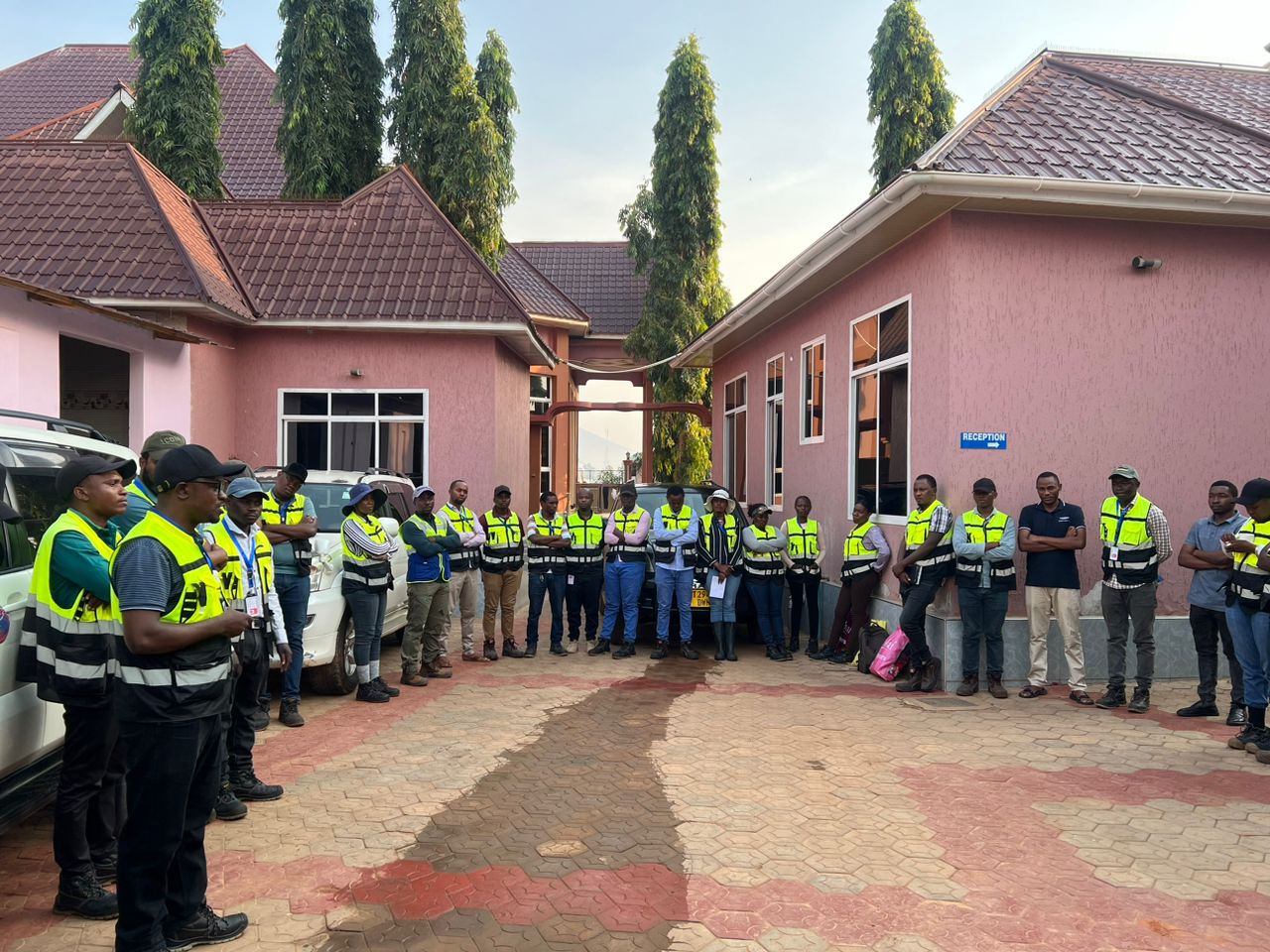
LAND COMPACT Co. LTD delivers high-precision cadastral, topographic, and engineering surveys with modern technology for sustainable land development across Tanzania.
Shaping the Future with
Precision and Innovation.
At the core of our services is a dedication to delivering accurate land surveying and GIS solutions using advanced geospatial technology for efficient and sustainable development. We are committed to professional integrity, transparency, and timely delivery.
Comprehensive Solutions
for Geospatial Excellence
We offer a diverse range of services designed to meet the evolving needs of today's industries. From precise land surveying and advanced GIS solutions to custom mapping and efficient infrastructure planning.
Precision & Geospatial Surveying for
Tomorrow's Infrastructure
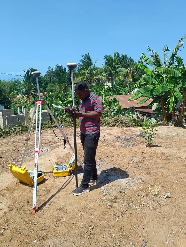
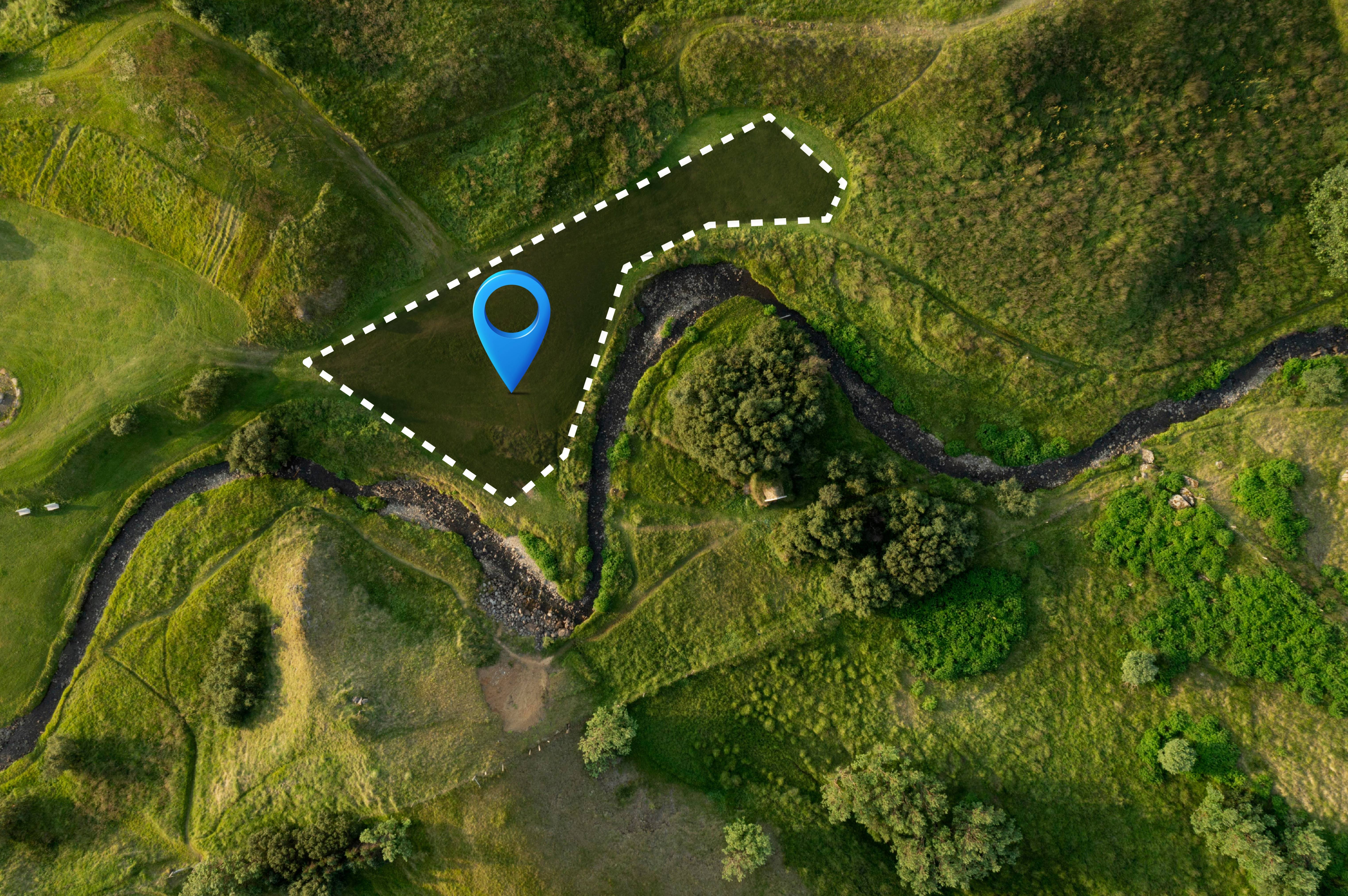
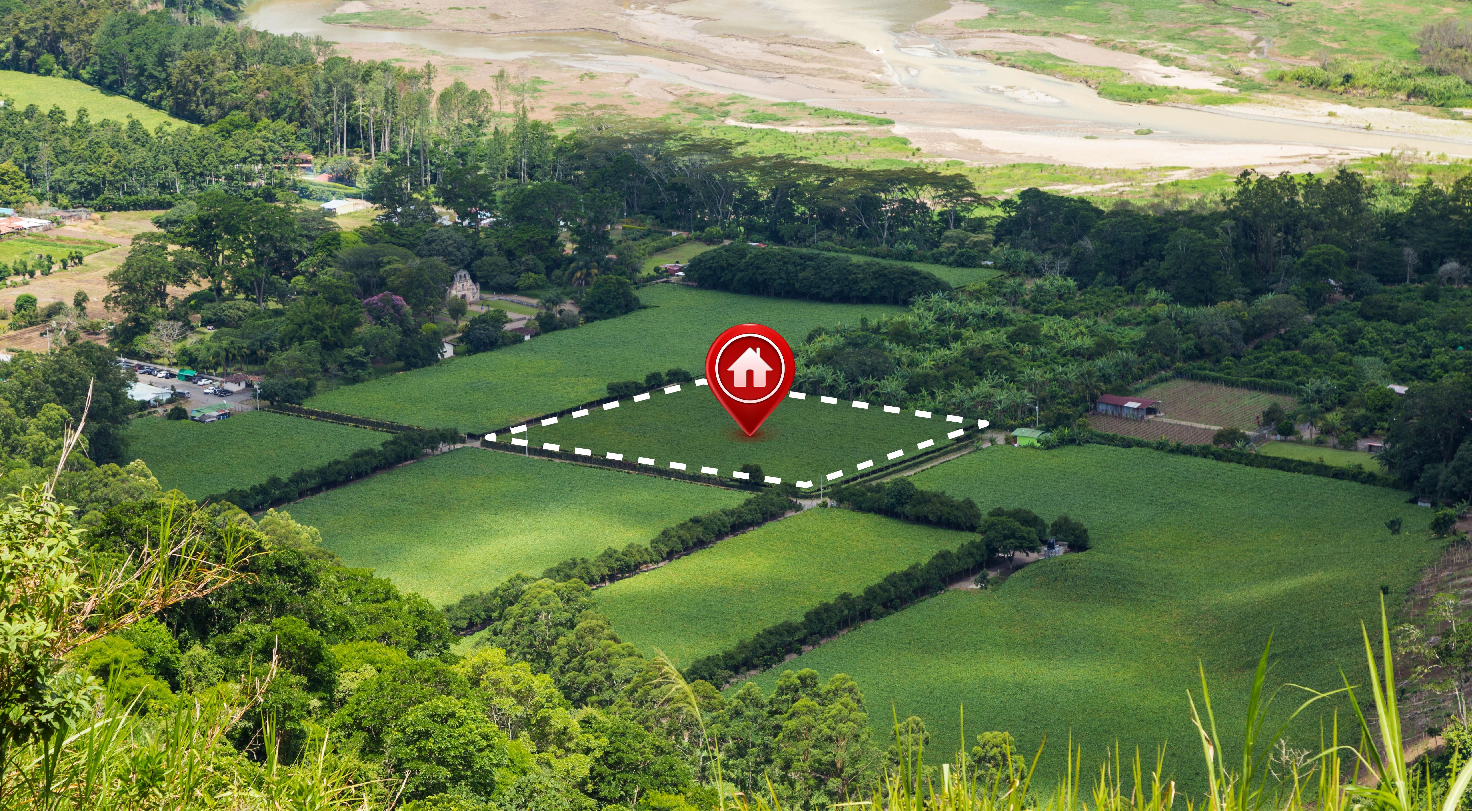
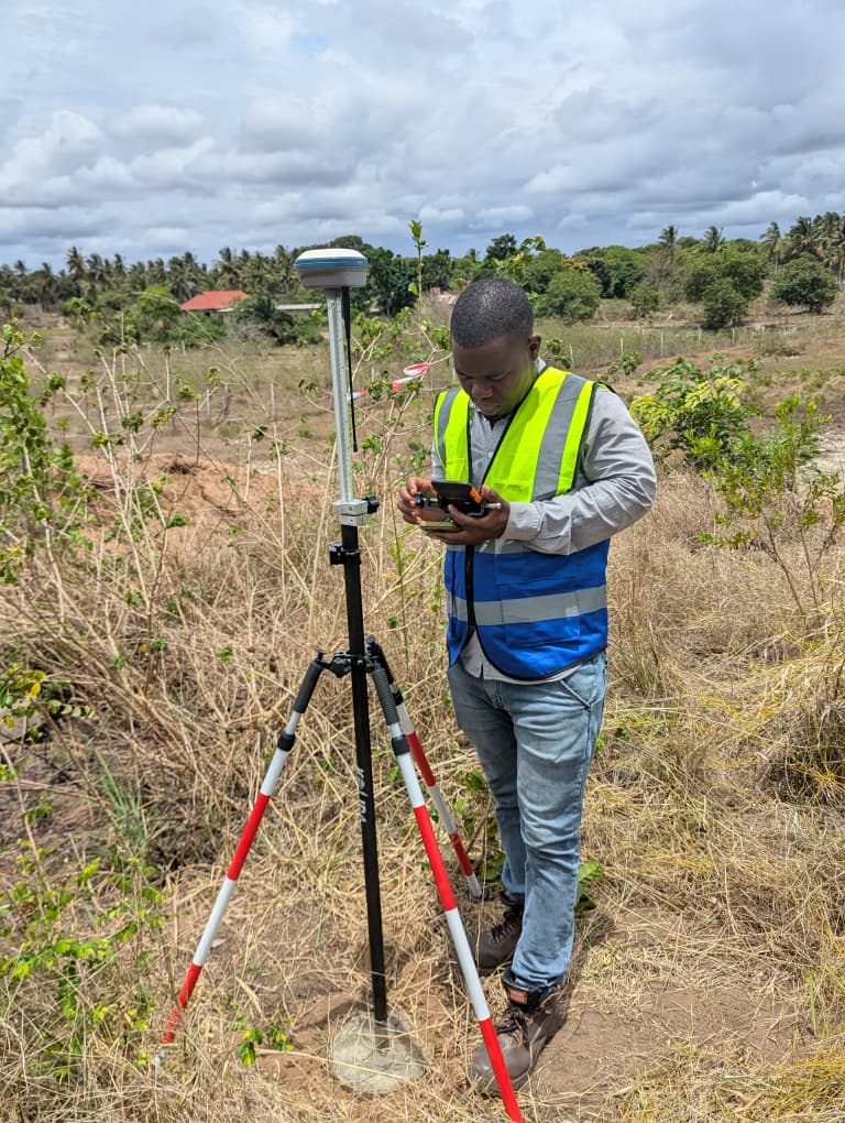
Land Surveying & Mapping
Delivering accurate cadastral, topographical, and engineering surveys for precise land management.
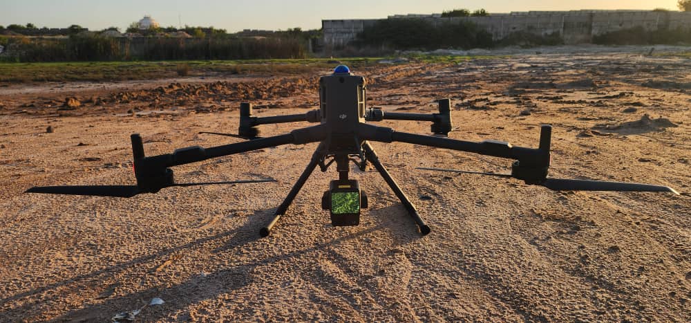
Geospatial & GIS Solutions
Utilizing advanced GIS and remote sensing technologies for data-driven decision-making.
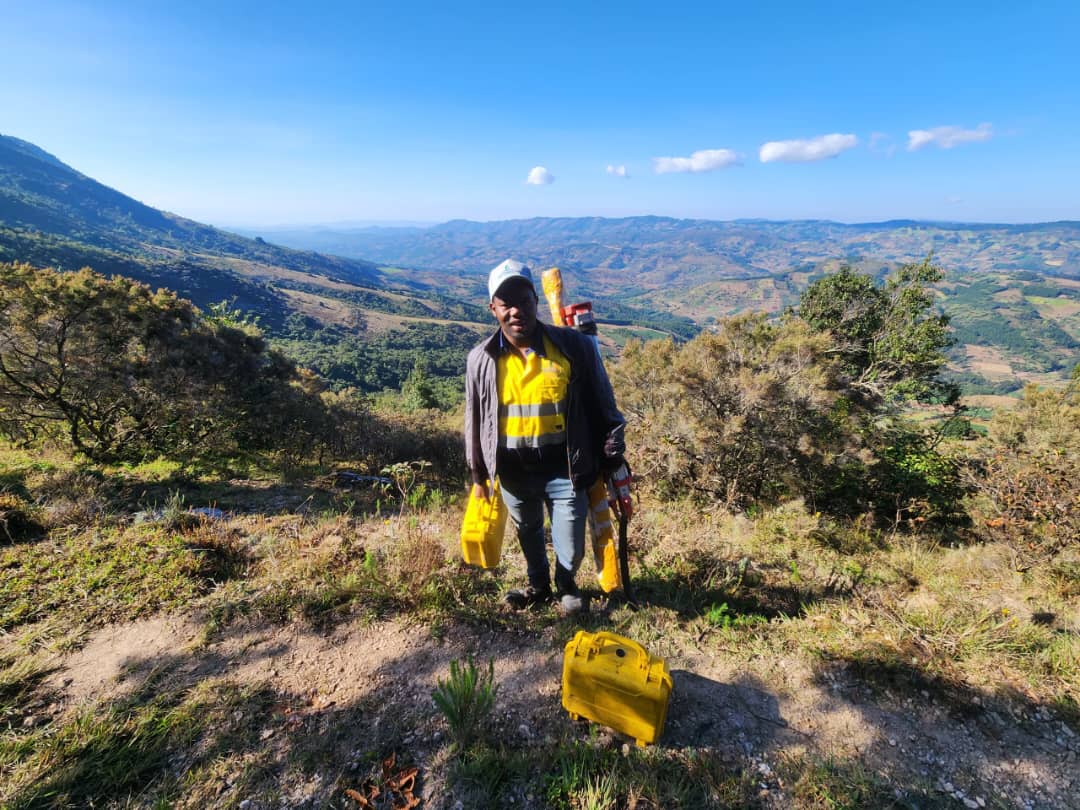
Infrastructure & Construction Surveys
Providing essential surveying services for roads, buildings, and large-scale infrastructure projects.
Mining & Environmental Surveys
Supporting resource extraction and environmental planning with high-precision survey data.
For more information, download our brochure
Precision Geospatial
Solutions for Smarter Development.

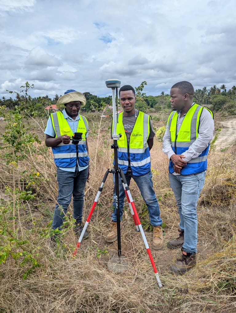
We specialize in transforming land and infrastructure development through innovative geospatial solutions. Using advanced technology, precision surveying, and sustainable practices, we enhance efficiency and accuracy in every project. Our team of licensed surveyors delivers high-precision services across Tanzania's diverse landscapes.
What our satisfied clients
are saying
“Exceptional survey services! Their advanced technology and skilled team ensure reliable data for our infrastructure projects.”