Our services
Comprehensive Survey Solutions
We provide a full range of professional surveying and geospatial services tailored to meet the evolving needs of modern development projects across Tanzania and East Africa.
Engineering And Topographical Surveys
Comprehensive surveys for infrastructure development including roads, buildings, and utilities.
Get QuoteAirborne Survey
Advanced UAV and drone-based surveying for large-scale mapping and aerial photography.
Get QuoteMining Surveys
Specialized surveying services for mining industry including exploration and volumetric calculations.
Get QuoteControl Surveys
High-precision control surveys using GNSS technology to establish reliable reference networks.
Get QuoteRoad Designs
Professional road design and alignment surveys for transportation infrastructure projects.
Get QuoteRoute Surveys
Detailed route surveys for pipelines, power lines, and linear infrastructure projects.
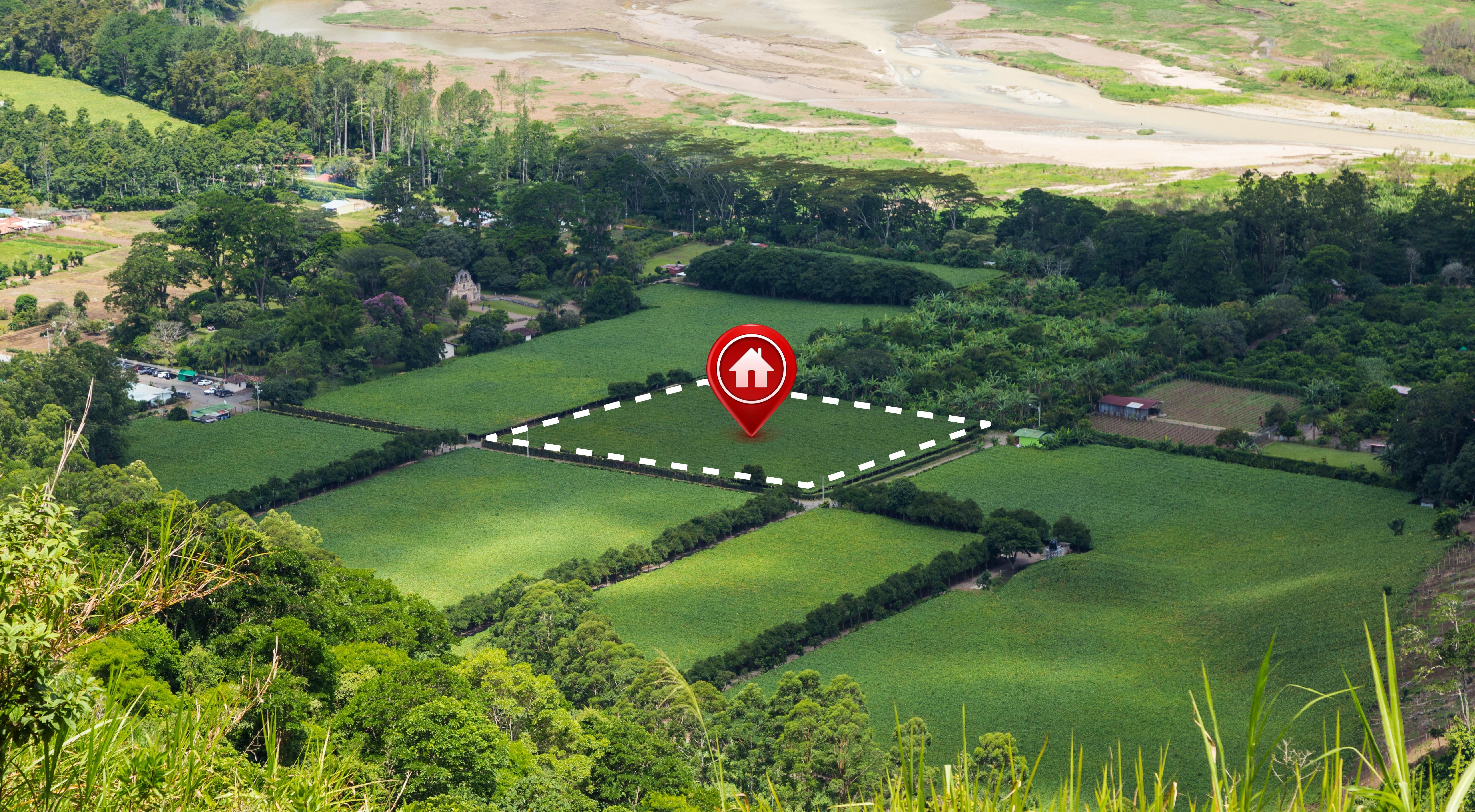
Get QuoteCadastral Surveying
Accurate boundary determination, sub-division, and title surveys for property registration.
Get QuoteNeed a Custom Solution?
Contact us today to discuss your specific project requirements. Our team of experts is ready to provide tailored solutions for your surveying and geospatial needs.
Contact Us Today